5.7km away
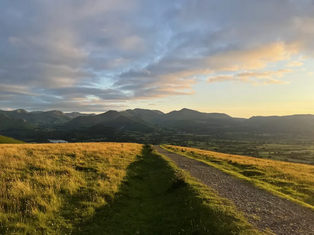
Walla Crag from Keswick
Keswick
6.2km
328m
1
A leisurely hiking pace finishes this walk in around 4 hours 25 mins
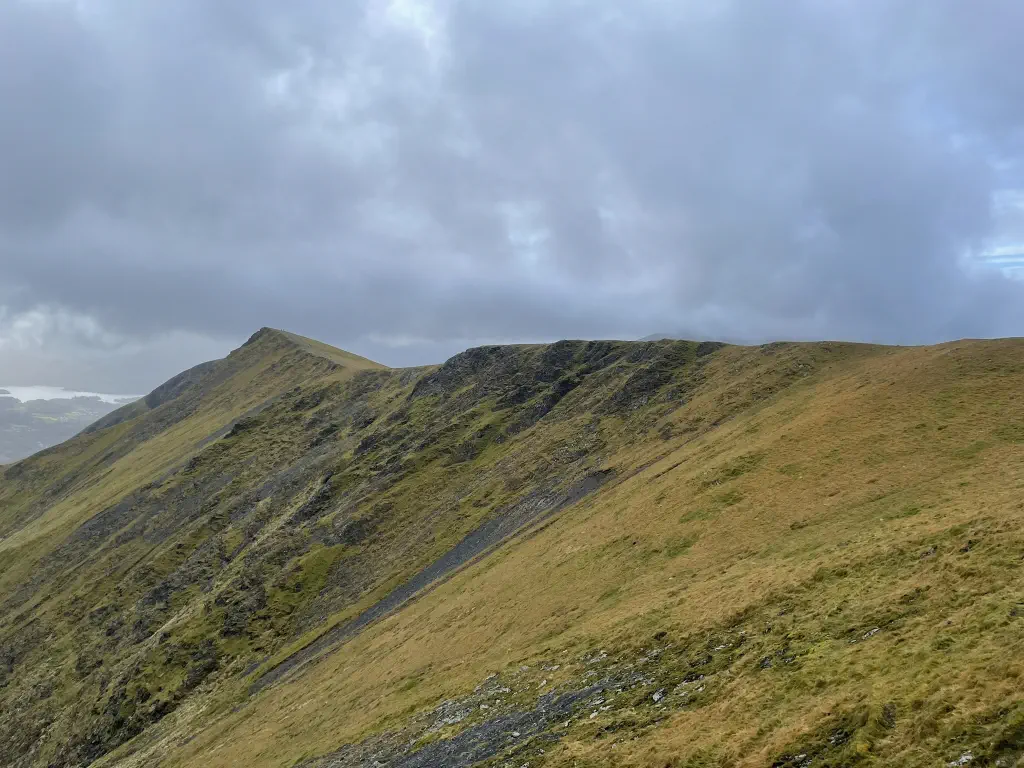
Long stretches of steep uphill, sometimes with short scrambling sections
Some sections may be unclear, and poor weather could make navigation tricky
Compulsory stretches of significant exposure that require a head for heights
These ratings are based on my own experience and are for guidance only - find out more.
Forecast for Blencathra Summit (868m)
21°
15kph
4%
30km+
Forecast provided by the Met Office under the Open Government Licence.
These routes are for guidance only. Always check the weather, wear appropriate clothing, and know your limits. See the safety page for the more advice before setting out.